
Services
What we deliver
Engineering services in surveying: planialtimetric surveys, georeferencing, construction layout and property boundary documentation.
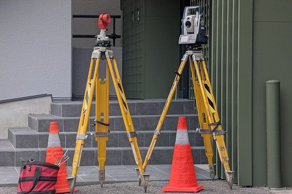
Know the land

Topographic survey
Planialtimetric surveys showing boundaries, levels and existing features.
See the line →For registry
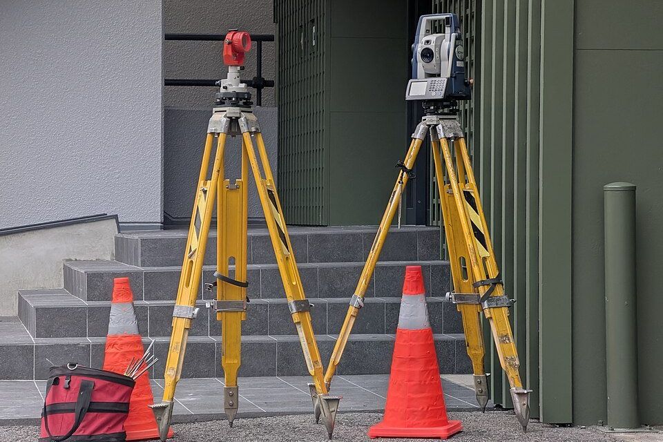
Rural georeferencing
Georeferencing of rural properties to the standards required for registration.
See the line →On the ground
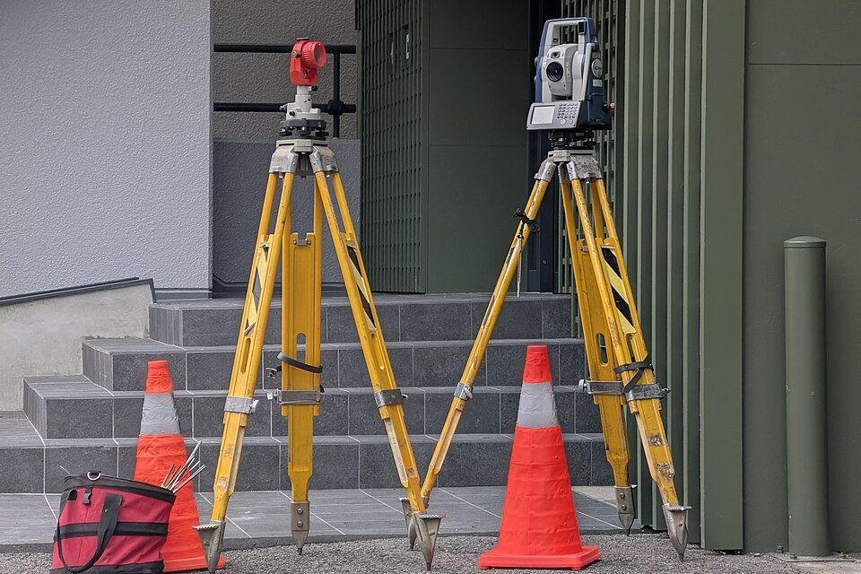
Construction layout
Setting out foundations and structures on site from the approved project.
See the line →Clear limits
Boundaries and subdivision
Boundary checks and technical support for dividing or unifying plots.
See the line →Registered activity. Engineering services. Solo Topografia e Georreferenciamento Ltda, CNPJ 20.522.473/0001-66.