
Products
Our four main lines
Every line below has its own page explaining what it is, how it works step by step and what is included.
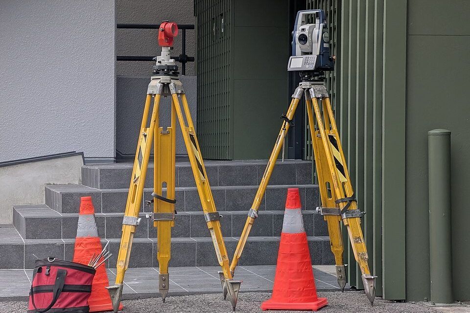
Know the land

Topographic survey
Planialtimetric surveys showing boundaries, levels and existing features.
See the line →For registry
Rural georeferencing
Georeferencing of rural properties to the standards required for registration.
See the line →On the ground
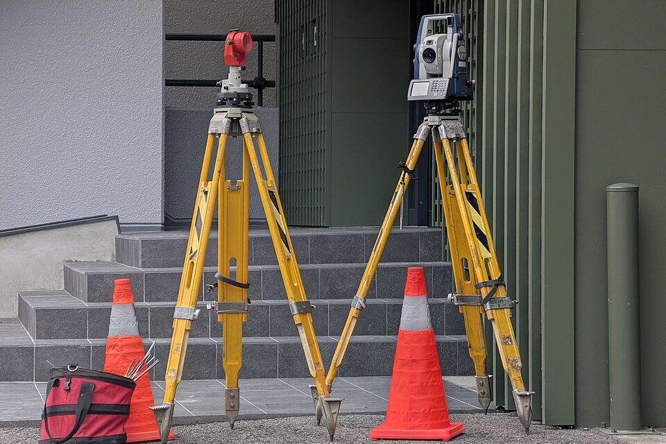
Construction layout
Setting out foundations and structures on site from the approved project.
See the line →Clear limits
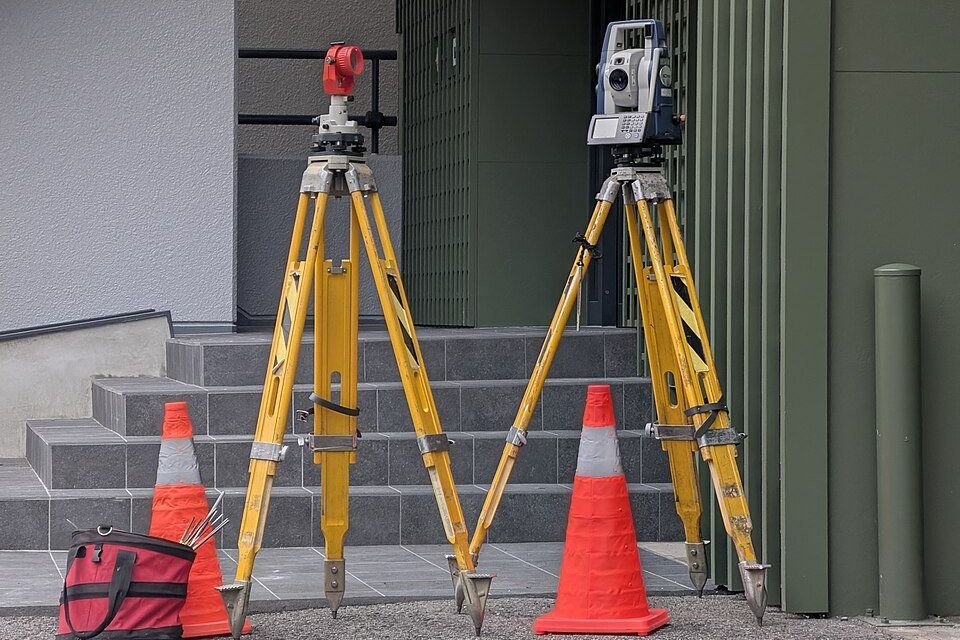
Boundaries and subdivision
Boundary checks and technical support for dividing or unifying plots.
See the line →