
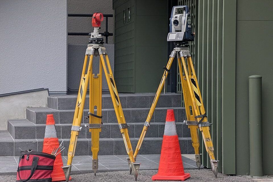
What it is
Rural properties often need georeferenced boundaries for registration and transfers. We carry out the field work and prepare the technical files in the format required for submission.
What is included
- Boundary field work
- Files in the required format
- Support during submission
- Coordinates with stated accuracy
How we work
Purpose first
Each job starts by defining what the survey is for and which body will receive the documents.
Field measurement
Measurements are taken on site with calibrated equipment and checked before leaving the field.
Technical documents
Drawings, reports and files are delivered in the format required by the registry or project.
Next step. Send us the details and we will reply with what is needed to move forward. Write to [email protected] or call +55 (47) 9932-0939.
Related
Know the land

Topographic survey
Planialtimetric surveys showing boundaries, levels and existing features.
See the line →On the ground
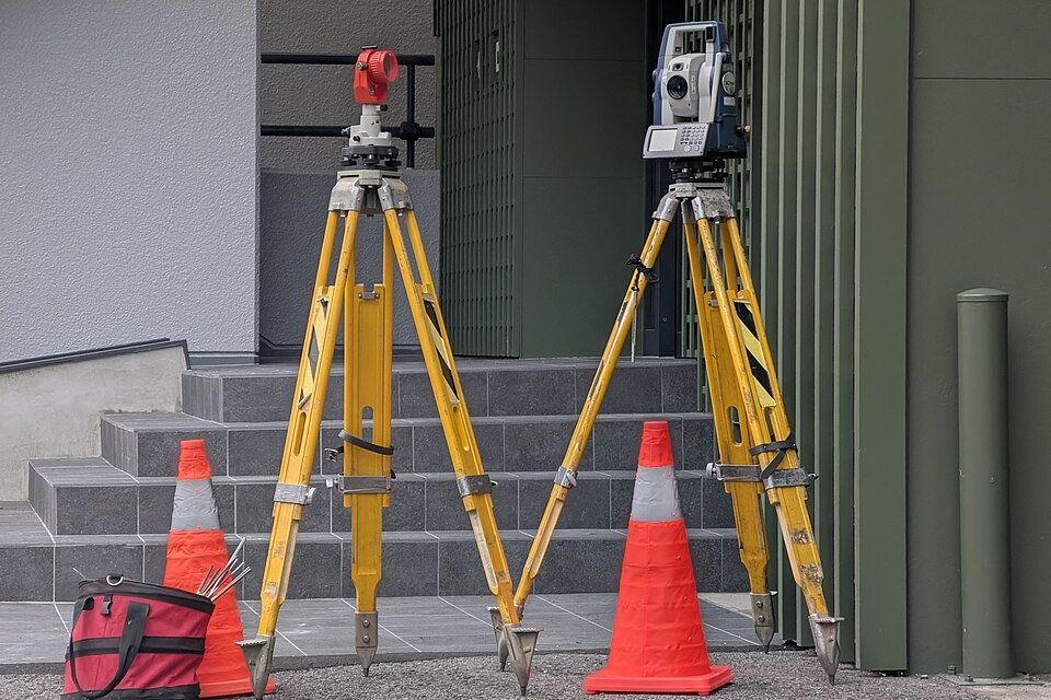
Construction layout
Setting out foundations and structures on site from the approved project.
See the line →Clear limits
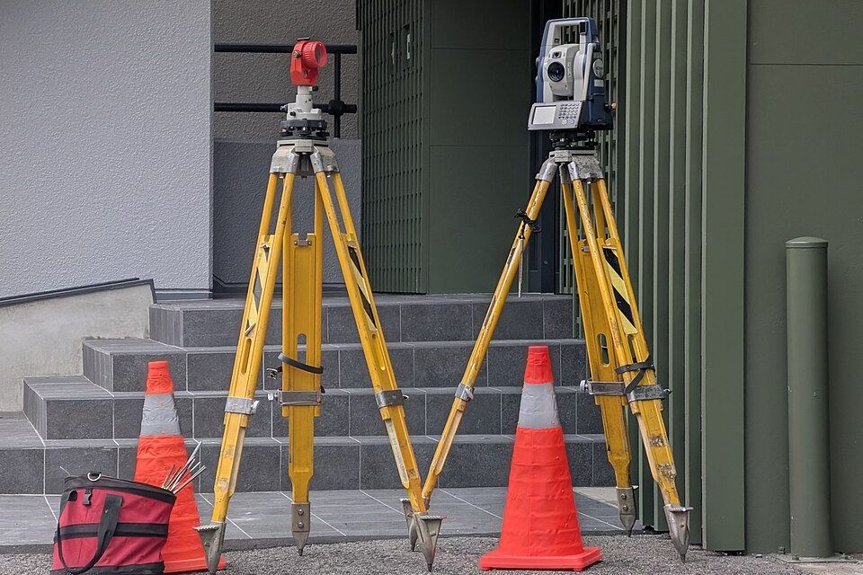
Boundaries and subdivision
Boundary checks and technical support for dividing or unifying plots.
See the line →